INTERPRETING STRATA PLANS

Strata Plans Melbourne | VicLand

Strata Plan Interpretation

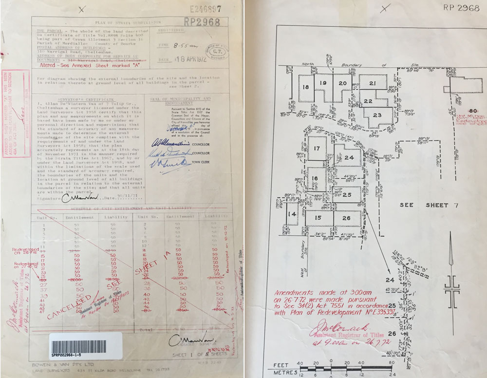
Prior to the introduction of the Subdivision Act 1988, building subdivision in Victoria was governed by the Strata Titles Act 1967. Plans registered under STA1967 bear the prefix RP (Registered Plan) or SP (Strata Plan).

Key elements for Interpreting Plans under the STA1967:

  • Boundaries that are defined by structures are shown by thick continuous lines
  • Where boundaries are defined by structures, the boundary lies along the median of the structure unless otherwise specified in the legend
  • Structures, as defined in the Strata Titles Act, include fences, wall, floors or ceilings
  • Boundaries not defined by structures are shown by thick broken lines and are dimensioned or fixed.
  • Any thin lines or thin hatched lines shown on a strata plan do not represent a parcel boundary
  • Strata plans show the outline of the buildings on the unit diagram:
  • Because the unit number is often shown inside these outlines, there can be some
    confusion about where the parcel boundary lies.
  • At the time of registration, plans under the Strata Titles Act always contained common property.       The common property may be in airspace-above or below the ground surface.
  • Units may be defined as being restricted or accessory (car parks) units. Restricted units cannot be transferred unless transferred with accessory unit
  • The legend in a strata plan may contain one or more of the following:
  • Information relating to the building in the parcel
  • Any notice of restriction
  • Common property statement
  • The location of the upper and lower boundaries
  • The storey table if there are multiple stories; and
  • If appropriate, information if the boundary lies other than along the median of the
    structure
  • Any reference to unit (whether restricted, accessory, car park or otherwise) on strata plan is treated the same as a lot on a Subdivision Act plan.

For further inquiries relating to the interpretation of STA1967 plans, please contact our office.

Note that the Subdivision Act 1988 allows for redevelopment of strata plans. Boundary definitions within strata plans may be derived from both the Strata Act ad Subdivision Act. The only way to amend boundaries on a strata plan is with Section 32 of the Subdivision Act 1988.

SURVEYING & SUBDIVISION FEES

Subdivision Melbourne | Land Surveyors | VicLand Surveying

Unfortunately there is a perception in the general community that surveying and subdivision fees fall within the “a few hundred bucks” category.

Fees associated with general surveying and subdivision vary depending on the type of survey required and for subdivision, the number of lots to be created, amongst many other factors.

Next time you ask your surveyor for a quote you should also ask them weather they have the following:

  • Public liability and business insurance
  • Professional Indemnity Insurance
  • Work cover Insurance

Reputable surveying companies charge proper fees. Their fees take into consideration:

  • Insurance fees as above
  • Wages and superannuation
  • Operating costs
  • Equipment costs
  • Value of the product delivered.

If you have been quoted $500 for your initial survey and then $1,000 for your subdivision you should be questioning the integrity and capability of the surveyor.

Only a licenced land surveyor can legally perform property boundary surveys and subdivision. It takes on average 4 years of university to obtain appropriate qualifications then another 2 years minimum before a person can obtain a license to become a land surveyor. It is a specialised profession that deals with land valued at millions of dollars.

When choosing your surveyor you need to consider reputation, credentials, experience, work ethics and quality of work. Your choice should not be made on price alone.

Vicland Surveying are registered, licensed land surveyors of long standing fully qualified to perform your property boundary surveys and subdivisions. Call us, your surveying and subdivision solutions specialists on 9331-4266 to discuss your requirements today!


Subdivision Checklist Part 1

Is your Land Surveyor Licensed? | Subdivision Checklist Part 1 | Vicland Surveying

Part 1. Is your Land Surveyor Licensed?

When was the last time you asked your land surveyor whether they were licensed? Only licensed land surveyors are legally entitled to perform-

  • Land and property boundary surveys or title boundary re-establishments &
  • Subdivision,

within the state of Victoria.

To check if your land surveyor is licensed the Surveyors Registration Board of Victoria maintains a Register of Licensed Surveyors in Victoria. Further, in order to perform boundary surveys and subdivisions, your land surveyors’ registration status must be shown as ‘practising.’

If your current ‘surveyor’ does not appear on the register with practising status, then they are not legally authorised to perform property boundary surveys or subdivide land or buildings.

Although you do not need a licensed surveyor to do your setout, nearly all setouts initially require title boundary surveys. Don’t compromise on quality of work or piece of mind by choosing someone not licensed because they advertise their services as being cheap. Licensed Land Surveyors are professional and remember that, if you are using a non-licensed surveyor you are putting yourself at risk.

Vicland Surveying are registered licensed surveyors fully qualified to perform your property boundary surveys and subdivisions. Call us on 9331 4266 to discuss your requirements today.

WOODEND LIFESTYLE RESORT (2017)

Title Boundary, Levels and Features Surveys | Woodend | Vicland Surveying

Client: Living Gems Residential Resorts

Location: Macedon Road, Woodend

Services: Title Boundary Surveys & Features and Levels Surveys

Description

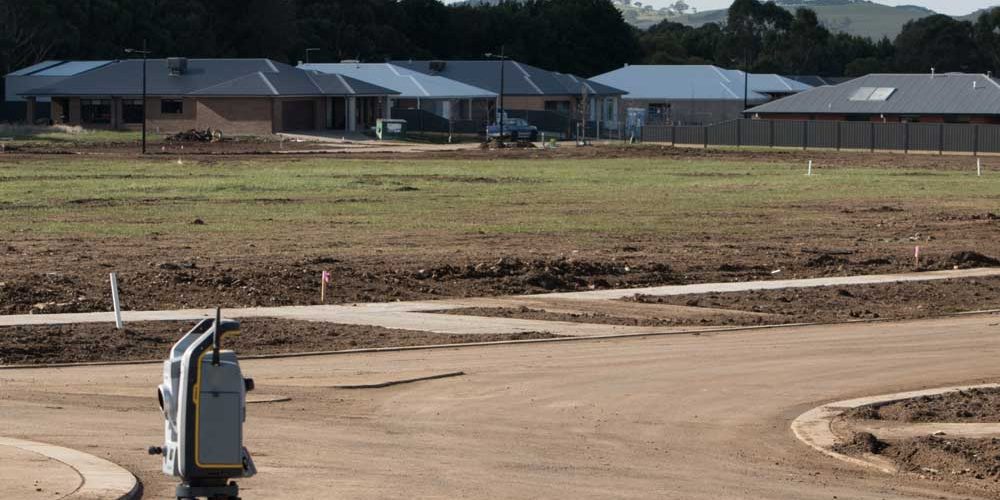
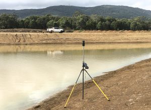
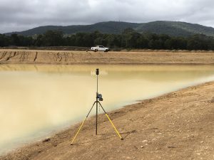
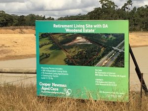
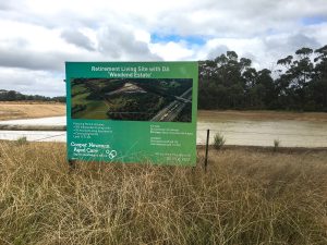
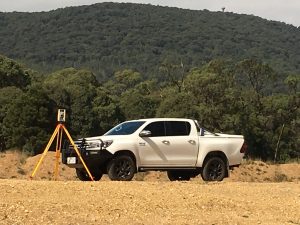
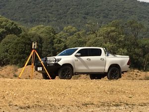
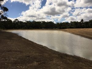
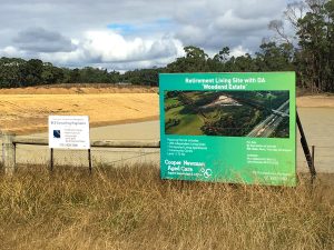
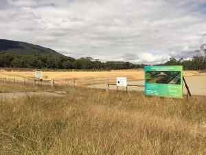
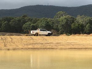
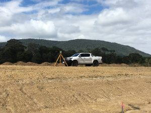
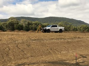
Nestled in the foothills of the Macedon Ranges, Woodend Lifestyle Resort is a master planned retirement village for a resort living lifestyle for over 50’s, retirees and seniors. To be developed and built by the award winning Queensland owned and operated group Living Gems, Vicland Surveying have been involved in title boundary surveys & features and levels surveys over the site in conjunction with BCS consulting Engineers for detailed engineering design for servicing and internal road design. Lease plans for the proposed 200 lots will also be prepared by Vicland surveying in the future.

Minimum Garden Area for Subdivisions in Melbourne

Minimum Garden Area Subdivision Melbourne | Vicland Surveying

Minimum Garden Area for Subdivisions in Melbourne

Minimum Garden Area Subdivision Melbourne | Vicland Surveying

Planning to Subdivide? Minimum garden areas now required!

Minimum garden areas were introduced by the State Government in March this year and affect areas zoned Neighbourhood Residential Zone and the General Residential Zone.

What is the Garden area requirement?

Minimum areas have now been determined and are required to be met when developing land. In brief, a minimum percentage of land must be provided for garden areas at ground level as follows:-

Note that the requirements only apply to land in the Neighbourhood Residential Zone and General Residential Zone.

The definition of a garden area is given as:

An uncovered outdoor area of a dwelling or residential building normally associated with a garden. A garden area does not include driveways, car parking areas, buildings or roofed areas and any area that has a dimension of less than 1 metre. It does include open entertainment areas, decks, lawns, garden beds, swimming pools, tennis courts and the like.

This applies to all new subdivisions and development, but does not apply to existing dwellings.

What does this mean to you?
The current definition is very loosely defined. It can be expected that developers and builders and council will all have differing interpretations of the definition. Ultimately should you not agree with council’s interpretation, an application for the matter to be resolved can be made to VCAT.

Backyard Subdivision Melbourne

backyard-subdivision-melbourne

Can I Subdivide My Backyard?

Council will generally not approve a subdivision application unless the site has an approved Development Permit. Further to a Development Permit, a Subdivision Permit is also required.

What is a Development Permit?

In most cases (such as “back yard” subdivisions under 500m²) a planning permit for development will need to be issued first. This process ensures that any new lots created are suitable for residential development and subdivision.

The purpose of the Development Permit is to demonstrate that land can be built on, that new development meets the requirements of Council’s Planning Scheme, in particular Clause 55, and that designs are based on good urban design principles. The permit process looks at things such as:

  • Building heights and setbacks from boundaries
  • Overshadowing of adjoining lots
  • Car parking requirements for new and existing dwellings
  • Private outdoor spaces for the existing and proposed dwellings
  • Impact on adjoining properties and future occupants

Further information on Clause 55 and council planning schemes can be found at http://planningschemes.dpcd.vic.gov.au/ . Development permit applications are generally managed by a town planner, architect or designer.

Subdivision

Any form of Subdivision can only be done by a Licensed Land Surveyor. Upon issue of your development permit an application for a Subdivision Permit will follow.

There are three main stages to a Subdivision Permit which may take several months to complete:

  1. Permit – Permit application for Subdivision is generally lodged by your Land Surveyor. Once received, Council will then refer the application to the servicing authorities (water, sewer, gas electricity etc) for assessment of their requirements. Once issued, the Subdivision Permit will list any conditions to be met prior to issue of Statement of Compliance. Some of these conditions may require you to carry out works or to pay bonds in lieu of works and may also attract additional fees.
  2. Certification – Subdivision plans are lodged by a licensed Land Surveyor for Certification generally at the same time as the permit application for Subdivision. The Subdivision Plan is then endorsed by Council if it is in accordance with the development permit and drawings.
  3. Statement of Compliance (SOC)– Once all conditions on the development permit and subdivision permit are met a Statement of Compliance will be issued by Council. Upon issue of SOC, an application for registration can be lodged with Land Victoria by your solicitor or conveyancer. New titles are then issued and the lots can be sold.

Subdivision is possible even if you do not wish to carry out the construction of the dwellings. Upon issue of the Development Permit and subsequent Subdivision Permit application, a condition in the permit may allow for you to enter into an agreement with Council under Section 173 of the Planning and Environment Act 1987 to ensure that development occurs as per the endorsed plans or any requirements for infrastructure works required by a permit condition. The agreement will need to be attached to current title and will also be attached to any new title following.

To obtain more detailed advice, please contact VicLand Surveying, your “back yard’ subdivision expert on 9331 4266.

Currently Hiring

VicLand Surveying (formerly Kearney & Tyrrell Surveying) is a long standing surveying practice providing surveying services state wide that includes land and building subdivisions. We currently have a vacancy for a licensed or near licensed cadastral surveyor that has appropriate qualifications and experience working within Victoria.

The person we are looking for will have:-

  • Experience in cadastral surveying.
  • Experience in managing and co-ordinating surveyors.
  • Experience in preparing all types of survey plans.
  • Experience in subdivision and SPEAR.
  • Registration as a Licensed Surveyor from the Surveyors Board of Victoria.

If this is you, you should apply immediately. Salary will be negotiated based upon skills and experience. Opportunities also exist for graduate surveyors looking for training agreements.

Further details and applications for this position can be made by contacting:
VicLand Surveying
53 Rose Street ESSENDON
Ph: 9331 4266 Email: john@vland.com.au

Only candidates with full working rights in Australia will be considered. Only shortlisted candidates will be contacted.

See our ad on Seek

Melbourne’s Changing Development Landscape

YOUR PERSONAL INVITATION TO A FREE BREAKFAST SEMINAR

Date: Thursday 1st June 2017

Brought to you by Weda Partners, together with A.R.G. Planning & m3property Strategists.

Co-sponsored by Vicland Surveying. If you would like to attend please phone the office on 9331 4266 to make your reservation.

Casual Position: Town Planner / Survey Drafter

Vicland Surveying currently has a casual position available for a town planner / survey drafter within our progressive team.

Subdivision experience within local council and a working knowledge of the Victorian Planning Scheme would be an advantage.

Knowledge of Autocad and Liscad software packages is also an advantage.

If you believe you are well suited to the above role please submit your application via our careers page. A competitive salary will be negotiated with the successful candidate.

Recruiting Now!!!!

Vicland Surveying Pty.Ltd., located in Essendon Melbourne is currently on a recruiting drive looking for local capable land surveyors, graduate surveyors or experienced party leaders. If you are unhappy where you are now, peg bashing with no light at the end of the tunnel in terms of future opportunities, then consider a move to Vicland Surveying.

Vicland Surveying is committed to providing training and professional development to the successful applicant, whether by professional training agreement with the view to becoming licensed, or an insight and experience into the range of various other activities that fall under the banner of cadastral surveying.

A generous salary package is on offer to the right candidate.

If you believe that this person is you, then please submit your application via our careers page.